How to trace a culvert
By: admin | Posted on: December 2, 2021
A very interesting enquiry has come in about an investigation of a flooded culvert in the grounds of a very old building.
Whilst part of the location of the culvert is known, knowbody knows where this actually starts or ends. This was built for a purpose, and it will be beneficial to work out where this actually leads to. One of the main reasons for this survey, is that this might be related to the persistent rising damp issues within the listed building. As most people are aware drainage defects are a common cause of damp, along with blocked French drains, land drains and also blocked/restricted culverts
Equipment needed
Having come recommended from where I recently discovered a culvert, the question was asked is this something I could do for them. I love an interesting survey, and this is something I’m sure I could get some kit up together for.
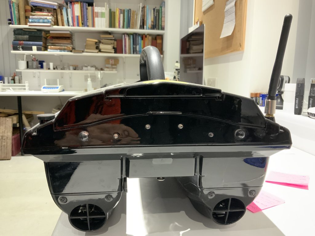
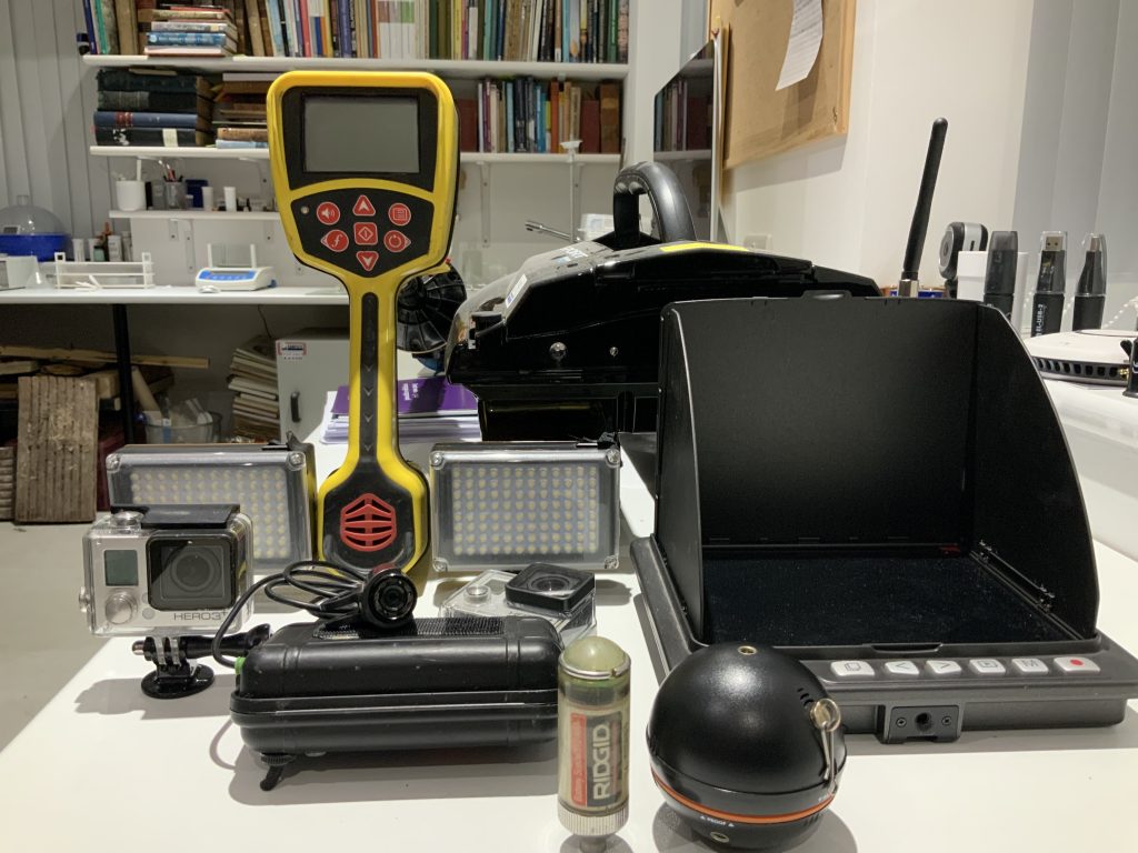
A battery boat will have 3 sets of led lights, 2 x GoPro cameras, live front view camera, real time sonde, so location can be tracked from above ground, real time sonar, which will give depths of culvert along with a view of the bottom.
Tests will be carried out next week, to see if any teething problems occur, and just need to set the date. Ground penetrating radar will be used initially to see what I can also find.


See what I recently discovered
Please see this link which shows how I used ground penetrating radar to find a hidden drainage culvert in the grounds of a Grade 2 Listed building Church https://www.completepreservation.co.uk/ground-penetrating-radar-survey-and-the-rics-joint-damp-methodology/
If you think you have hidden drainage, culverts, wells, basements that you want an investigation into please get in contact. Ground penetrating radar surveys should easily pick this stuff up enquiries@completepreservation.co.uk
